
We are convinced that we have the most beautiful route in the world to travel to church. We decided to get some pictures of the highlights along the way, and the weather today cooperated beautifully–bright and sunny on the way in the morning, and clearing again on our way home. We travel about 70 kilometers (about 43 miles) from Cheviot to Kaikoura every Sunday, and it takes us about an hour. The route varies from rolling hills to rugged hills to seacoast.
Our heifer in the neighbor’s paddock down the road, with her friends the cow and horse. Mount Lyford is visible off in the distance.
A close-up of the last scene.
As we reached the end of our road we saw another neighbor moving steers down the road.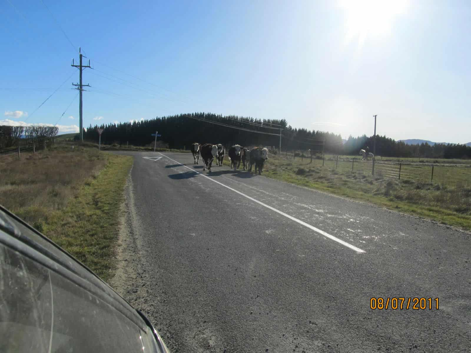
On the next road, we saw a farmer moving his sheep and cattle to new grazing.
Snow-capped mountains beyond Saint Anne’s Lagoon, beside Highway 1.
The view as we travel down Highway 1 between Cheviot and Parnassus.
The Waiau River.

Snow-capped mountains peeking over the lower, closer hills.
The Leader River.
Hills along the Conway River, heading toward the Hundalees.
In the Hundalee Hills.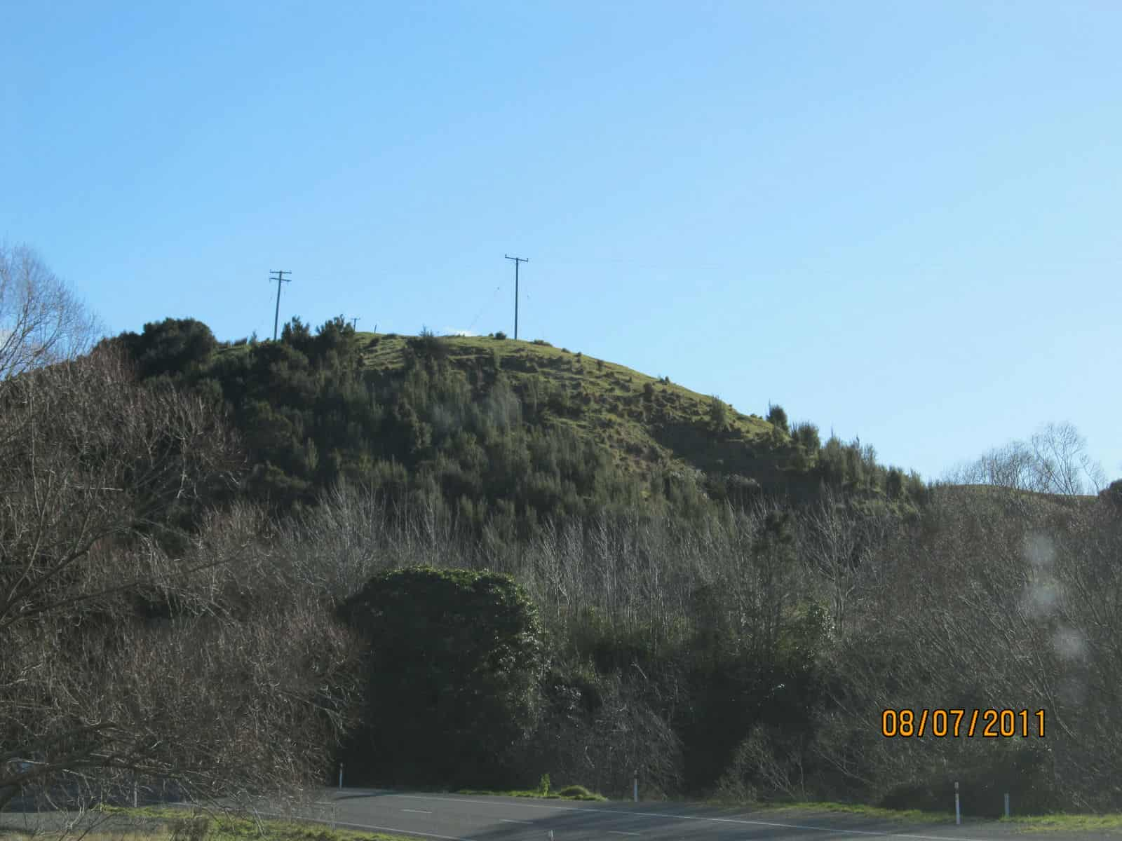
The road is quite curvy in the Hundalees!

Going up the steepest hill.
Over the top! We’re heading down towards the ocean now.
Looking up the Oaro River valley.
Our first glimpse of the Pacific Ocean for the day; Kaikoura Peninsula in the distance.
Barney’s Rock
The railroad parallels the highway, which runs along the seacoast.
The beautiful, rocky, Kaikoura coast.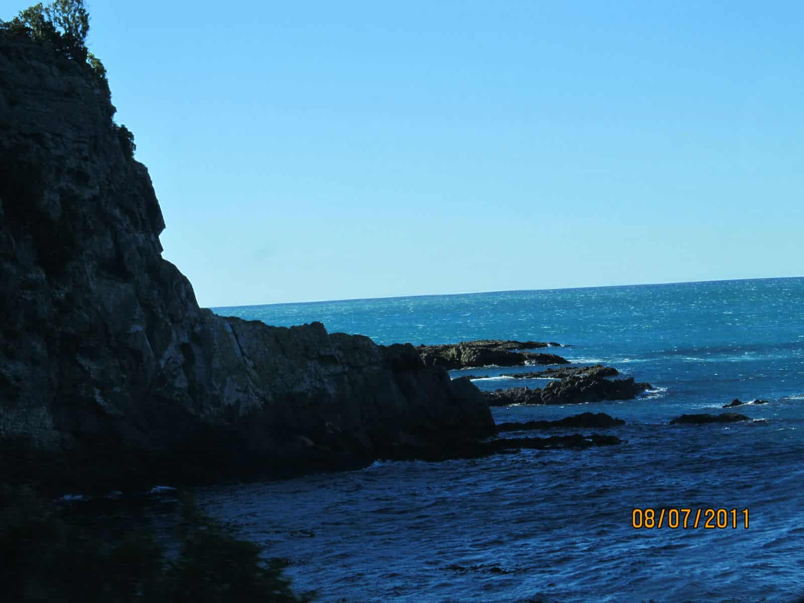
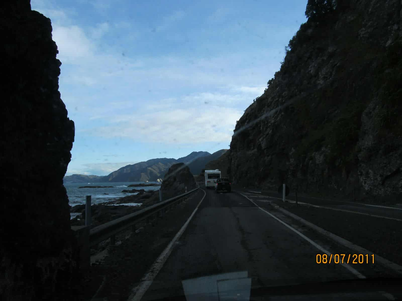
This part of the route has a lot of curves, too!
The road goes through a set of tunnels twice.
At last we come out to where we can see snow-capped Mount Fyffe, towering over the coast.
The mountains going away from the sea.
What a view these dairy cows have!
We made it to Kaikoura! Coming down the hill into the town.
We are now on the street the church is on. The trees are Norfolk Pines.
We have arrived! The cement block building to the left is our church.
Four hours later…we came out to see snow on the hills at the end of the Blue Duck Valley!
Snow was still falling in the Blue Duck, beyond Mount Fyffe.
Heading back south…this is South Bay, on the south side of the Kaikoura Peninsula.


Last year in September, the mountainside “slipped” here, burying both the railroad and the road, and going 40 meters out into the sea. They estimated that 5,000 truckloads of debris were removed, and the road is quite a ways farther toward the sea than it was originally.
Back into the Hundalees.

 See the road off in the distance? That’s where we’ll be in about two minutes.


The Conway River. The yellow-flowered tree to the right is wattle. The Waiau River again.
 Gayle’s favorite spot along the route–a deep valley beside the highway.
 At the turnoff from Highway 1 to our place.
 Home again!
So, what do you think? Do we have any rivals? I’d like to see your route, if it’s anywhere near as beautiful as ours!
Your route to church and back is so beautiful! Thanks for sharing photos of that awesome scenery created by our awesome God!
Nope, you’ve got ours beat hands-down! Though our drive can be quite beautiful, we can’t quite compete with ocean and mountains! Still praising God for all the ways He has blessed you. 🙂
(Ignore the super-late-comment-ness) This is great… and I totally agree with Ronda!
Ronda, one thing you can enjoy on your way to church that we can’t is fall colors. We have some, but all yellows–no reds to speak of here, and mostly what we see is evergreens.
Beautiful Pictures…Who wouldnt want to live there!
wow! Thanks for sharing. Just wondering, do you have any sugar Maple trees to make syrup? I would love to see pictures of the families you worship with sometime. Then I can picture who you are talking about 🙂 We are at the time now to start seeing some colored leaves and you are probably ready to see ‘spring blooms’! God Bless <3